1694 ARRIETA, Filippo de
Raguaglio historico del contaggio occorso nella provincia di Bari negli anni 1690, 1691 e 1692.
Arrieta published two very early disease maps in this work showing locations of plague in the province of Bari, Italy, and his employment of troops to isolate those areas. Digital facsimile from the Internet Archive a…
GMN 10455 · https://historyofmedicine.com/id/12648
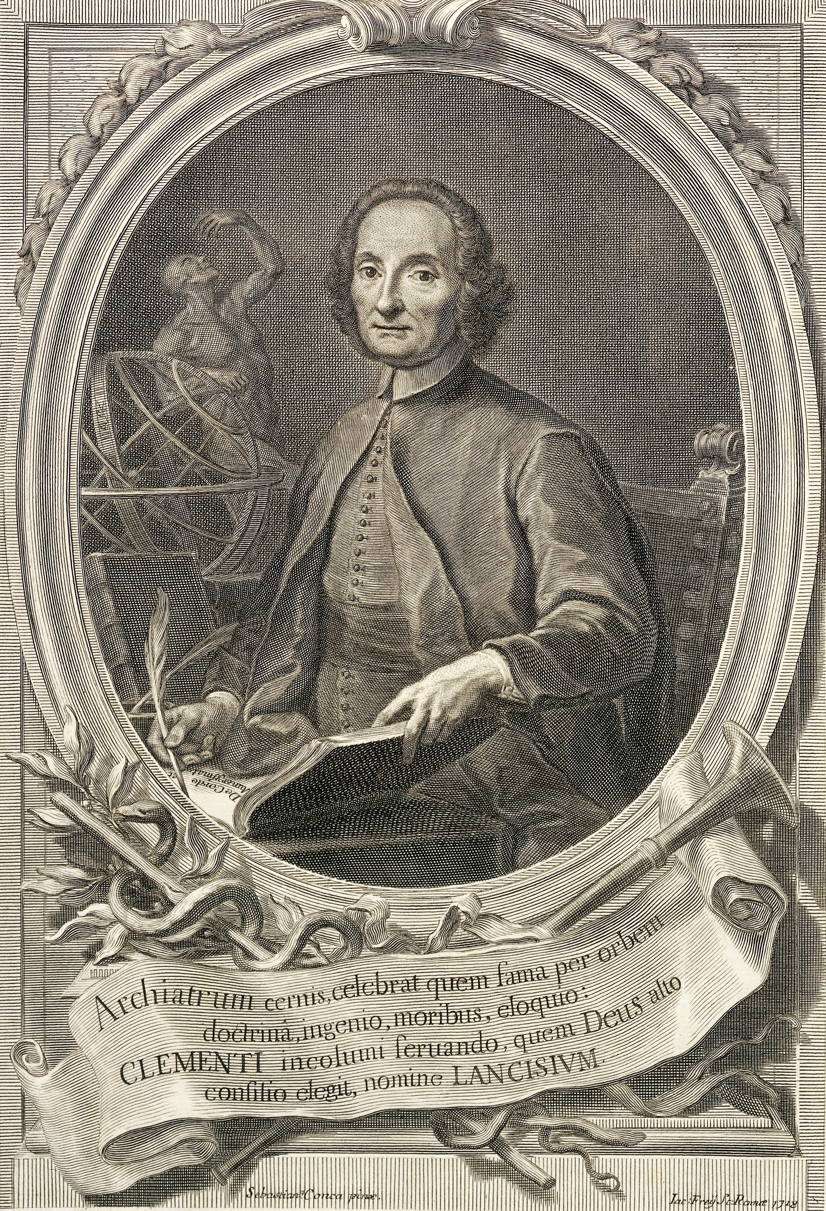
1717 LANCISI, Giovanni Maria (1654 – 1720)
De noxiis paludum effluviis, eorumque remediis.
Lancisi suggested that since malaria disappears after drainage it was due to some sort of poison emanating from marshes and possibly transmitted by mosquitoes. He planned a drainage scheme for marshy regions. His work…
GMN 5232 · https://historyofmedicine.com/id/7877
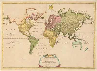
1777 ZIMMERMANN, Eberhard August Wilhelm von (1743 – 1815)
Specimen zoologiae geographicae, quadrupedem domicilia et migrationes sistens dedit, tabulamque mundi zoographicam adjunxit.
The first textbook of zoogeography, containing the first world map showing the distribution of mammals. French translation of part 1 only by Jakob Mauvillon: Zoologie géographique. Premier article, L'homme (Cassel: Im…
GMN 145.53 · https://historyofmedicine.com/id/2442
1778 –1793 ZIMMERMANN, Eberhard August Wilhelm von (1743 – 1815)
Geographische Geschichte des Menschen und der allgemein verbreiteten vierfüßigen Thiere: nebst einer hieher gehörigen Zoologischen Weltcharte. 3 vols.
Digital facsimile from the Bayerische StaatsBibliothek at this link.
GMN 8222 · https://historyofmedicine.com/id/10398
1797 SEAMAN, Valentine (1770 – 1817)
An inquiry into the cause of the prevalence of the yellow fever in New-York.
Includes four early plot maps; Seaman was one of the first to create maps that attempted to show the spread of contagious disease.
GMN 7687 · https://historyofmedicine.com/id/9859
1819 PASCALIS OUVIERE, Felix (1762 – 1833)
A statement of the occurrences during a malignant yellow fever in the city of New-York, in the summer and autumnal months of 1819; and of the check given to its progress, by the measures adopted by the Board of Health. With a list of cases and names of sick persons, and a map of their places of residence within the infected and proscribed limits: With a view of ascertaining, by comparative arguments, whether the distemper was engendered by domestic causes, or communicated by human contagion from foreign ports.
Pascalis mapped this yellow fever outbreak using a method similar to Valentine Seaman, but with a more extensive and detailed list of cases. A condensation of his 60-page pamphlet with a reissue of his map appeared in…
GMN 10456 · https://historyofmedicine.com/id/12649
1822 SCHOUW, Joakim Frederik (1789 – 1852)
Grundtræk til en almindelig Plantegeographie.
The first atlas of the geography of plants, including distribution maps for the eastern and western hemisphere. Schouw translated the work into German and had the translation published the following year: Grundzüge ei…
GMN 7695 · https://historyofmedicine.com/id/9867
1827 SCHNURRER, Christian Friedrich von (1742 – 1822)
Charte über die geographische Ausbreitung der Krankheiten.
The first world map of the distribution of human disease. For Schnurrer's work in epidemiology and his map, which was published separately from his books, see Brömer, "The first global map of the distribution of human…
GMN 10507 · https://historyofmedicine.com/id/12700
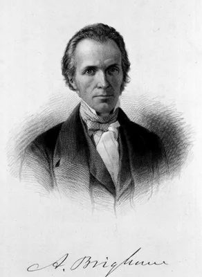
1832 BRIGHAM, Amariah (1798 – 1849)
A treatise on epidemic cholera; including an historical account of its origin and progress, to the present period. Compiled from the most authentic sources.
This compendium contains one of the first world charts of a disease, tracing the spread of cholera from two main sources, India (1817) and China (1820), across Asia and the Middle East via trade routes, to France and …
GMN 7688 · https://historyofmedicine.com/id/9860
1832 BRIERRE DE BOISMONT, Alexandre-Jacques-François (Brière de Boismont) (1797 – 1881)
Relation historique et médicale du choléra-morbus de Pologne, comprenant l'apparition de la maladie, sa march, ses progrès, ses symptômes, son mode de traitement et les moyens préservatifs. Avec une carte.
In his study of the spread of cholera in Poland in 1831 Brière de Boismont used a map to show the progression of the disease from a central point through the country along a red line through principal towns and the da…
GMN 10457 · https://historyofmedicine.com/id/12650
1832 HAMETT, John
The substance of the official medical reports upon the epidemic, called cholera: Which prevailed among the poor at Dantzick, between the end of May and the first part of September, 1831, as transmitted to their lordships; being an analysis of the said epidemic disease in that city--founded upon actual observation and accurate inquiry: With important and well-authenticated facts relative to the same disease, as it prevailed among the poor in other parts of the North of Europe.
Hamett privately published this report after it was rejected for publication by the British government. He included hospital admission tables in his book and produced perhaps the first map based on hospital reports of…
GMN 10462 · https://historyofmedicine.com/id/12655
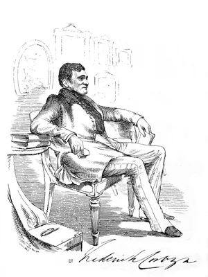
1832 CORBYN, Frederick
A treatise on the epidemic cholera, as it has prevailed in India; together with the reports of the medical officers, made to the medical boards of the presidencies of Bengal, Madras, and Bombay, for the purpose of ascertaining a successful mode of treating that destructive disease; And a critical examination of all the works that have hitherto appeared on the subject.
Corbyn mapped the history of cholera in India within British regimental stations. He included the date of each reported outbreak in a table of British regimental locations to describe the temporal progression of the d…
GMN 10463 · https://historyofmedicine.com/id/12656
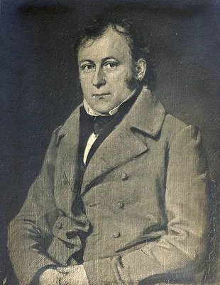
1832 TANNER, Henry Schenck (1786 – 1858)
A geographical and statistical account of the epidemic cholera: From its commencement in India to its entrance into the United States: Comprehended in a series of maps and tables, exhibiting the names of places visited by the pestilence, the time of its commencement, the number of cases, and deaths, and duration, at each place: Compiled from a great variety of printed and manuscript documents.
Tanner, a prolific cartographer, wished to provide a geographic account of the spread of the worldwide cholera epidemic of 1817. Statistics concerning the epidemic, he complained, were "given in such a loose and uncon…
GMN 10526 · https://historyofmedicine.com/id/12719
1834 CHÂTEAUNEUF, Louis-François Benoiston de (1776 – 1856)
Rapport sur la marche et les effets du choléra-morbus dans Paris et les communes rurales du département de la Seine par la commission nommée, avec l'approbation de M. le ministre du commerce et des travaux publics, par MM. les préfets de la Seine et de police; année 1832.
This work contained one of the earliest applications of spatial analysis in epidemiology—an early thematic map by geographer and cartographer Charles Picquet, in which the 48 districts of Paris were represented by gra…
GMN 7480 · https://historyofmedicine.com/id/9652
1837 MARTIN, James Ranald (1796 – 1874)
Notes on the medical topography of Calcutta.
Digital facsimile from the Internet Archive at this link.
GMN 8803 · https://historyofmedicine.com/id/10981
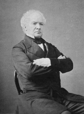
1842 CHADWICK, Sir Edwin (1800 – 1890)
Report…from the Poor Law Commissioners on an inquiry into the sanitary conditions of the labouring population of Great Britain.
Chadwick devoted his life to social reform. He was secretary to the Poor Law Commission when he made the above report to Parliament. In it he included a careful analysis of causes of death in 1838 and 1839 and gave a …
GMN 1608 · https://historyofmedicine.com/id/1890
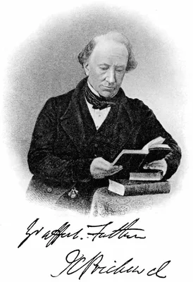
1843 PRICHARD, James Cowles (1786 – 1848)
Six ethnographic maps illustrative of "The natural history of man".
An atlas of six large hand-colored folding maps originally issued to accompany Prichard's popular work, The natural history of man, first issued in 1843. The maps were revised and re-issued in 1851 and 1861.
GMN 7696 · https://historyofmedicine.com/id/9868
1845 –1849 BERGHAUS, Heinrich Karl Wilhelm (1797 – 1884)
Dr. Heinrich Berghaus’ Physikalischer Atlas: oder, Sammlung von Karten, auf denen die hauptsächlichsten Erscheinungen der anorganischen und organischen Natur nach ihrer geographischen Verbreitung und Vertheilung bildlich dargestellt sind. 2 vols.
Berghaus created a new genre of thematic atlases. He issued this work gradually in eighteen installments from 1837 to1848. The first edition of the complete atlas consists of ninety maps in two vols., dated 1845 and 1…
GMN 7694 · https://historyofmedicine.com/id/9866
1849 SHAPTER, Thomas (1809 – 1902)
The history of the cholera in Exeter in 1832.
Includes “Map of Exeter in 1832 Shewing the Localities Where the Deaths Caused by Pestilential Cholera Occurred in the Years 1832, 1833 & 1834.” This map used red horizontal bars to illustrate outbreaks in 1832, red d…
GMN 7689 · https://historyofmedicine.com/id/9861
1849 JOHNSTON, Alexander Keith (1804 – 1871)
Physical Atlas. A series of maps & illustrations of the geographical distribution of natural phenomena. Embracing I. Geology. II Hydrography. III Meterology. IV. Natural History.
30 double-page maps, 15 of which are after the physical atlas of Berghaus. Contributors included Edward Forbes, George Waterhouse, Abbe Boué, etc. Various concern disease.
GMN 7693 · https://historyofmedicine.com/id/9865
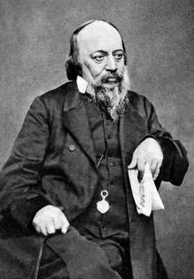
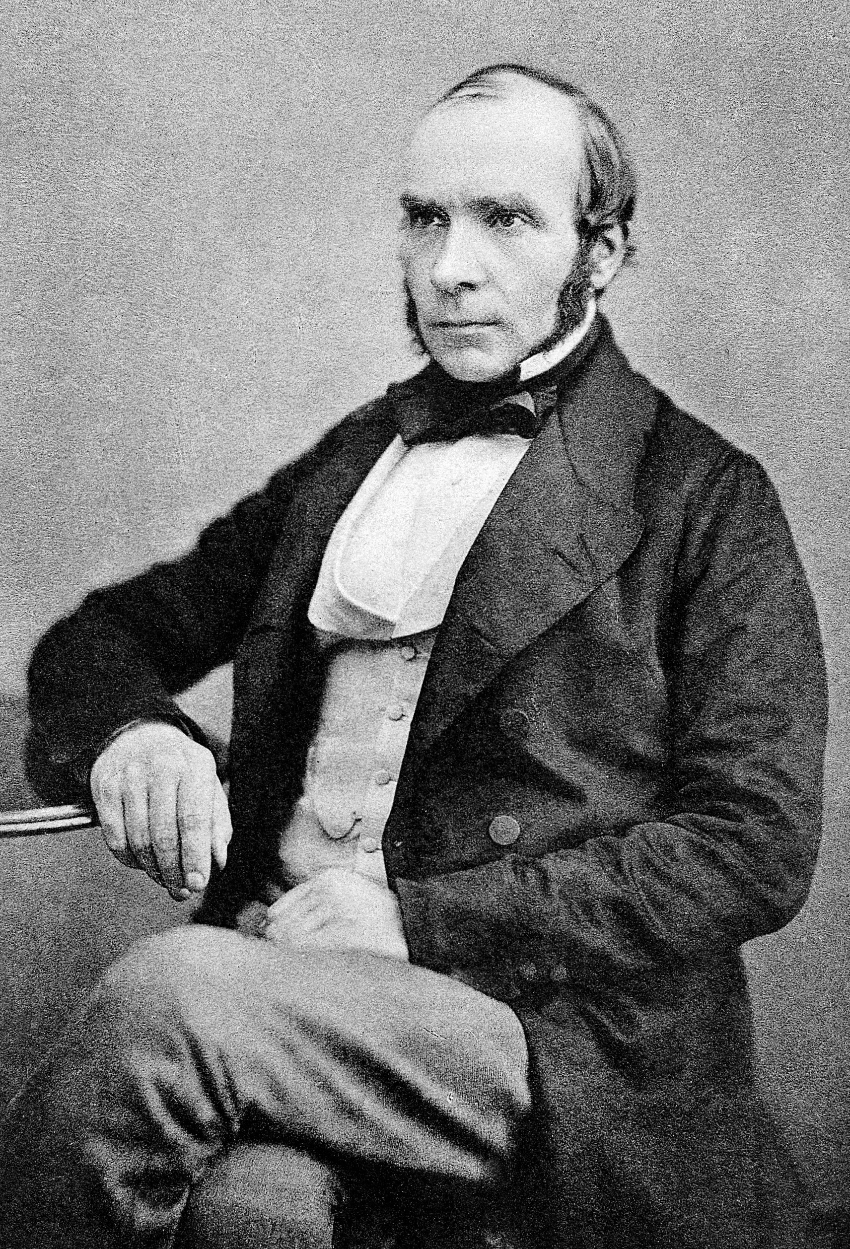
1855 SNOW, John (1813 – 1858)
On the mode of communication of the cholera. Second edition, much enlarged.
The second edition of Snow's book on cholera, with 162pp. compared to 31pp. in the first edition, incorporated the results of five more years of research, and contained so much additional material that it was essentia…
GMN 9982 · https://historyofmedicine.com/id/12171
1872 WYMAN, Morrill (1812 – 1903)
Autumnal catarrh (Hay fever) with three maps.
Wyman conducted experiments that convinced him that ragweed was a cause of hay fever. He then collected data from correspondents and published the first pollen maps of the U.S. so that sufferers could plan vacations i…
GMN 13212 · https://historyofmedicine.com/id/15475
1874 WALKER, Francis Amasa (1840 – 1897)
Statistical atlas of the United States based on the results of the ninth census 1870, with contributions from many eminent men of science and several departments of the government.
This oversized compendium of maps, graphs, statistical tables, and essays was the first comprehensive thematic atlas produced by any nation. It was hailed both at home and abroad for its innovative use of graphic elem…
GMN 7479 · https://historyofmedicine.com/id/9651
1875 HAVILAND, Alfred Joseph (1824 – 1903)
The geographical distribution of heart disease and dropsy, cancer in females & phthisis in females, in England and Wales. Illustrated by six small and three large coloured maps.
Haviland used the national mortality statistics for England and Wales to develop an elaborate geographical explanation based on map analysis for the cause of heart, cancer, and tuberculosis deaths. He found that femal…
GMN 10451 · https://historyofmedicine.com/id/12644
1876 WALLACE, Alfred Russel (1823 – 1913)
The geographical distribution of animals. 2 vols.
"In 1872, at the urging of many of his friends, including Darwin, Philip Sclater, and Alfred Newton, Wallace began research for a general review of the geographic distribution of animals. He was unable to make much pr…
GMN 145.6 · https://historyofmedicine.com/id/2488
1881 EXNER, Sigmund (Siegmund Ritter Exner von Ewarten) (1846 – 1926)
Untersuchungen über die Localisation der Funktionen in der Grosshirnrinde des Menschen.
Exner identified the superficial tangential fibers of the molecular layer of the cerebral cortex, known eponymically as “Exner’s plexus”. Exner’s book of 1881 on cortical localization contained maps based on the clini…
GMN 1413 · https://historyofmedicine.com/id/2094
1884 POINCARÉ, Émile Léon (1828 – 1892)
Prophylaxie et géographie médicale: Des principales maladies tributaires de l'hygiène.
Includes several colored world maps of diseases. Digital facsimile from the Internet Archive at this link.
GMN 12161 · https://historyofmedicine.com/id/14371
1891 ALTUKHOV, Nikolai
Entsefalometriya mozga cheloveka v otnoshenii k polu, vozrastu i cherepnomu ukazatelyu [in Cyrillic].
In 1889, nearly 20 years before Horsley and Clarke published their paper on the use of stereotaxy to examine the brain, Dmitrii Zernov, a professor of anatomy at Moscow University, invented the first prototype of a st…
GMN 7243 · https://historyofmedicine.com/id/9412
1952 –1961 RODENWALDT, Ernst Robert Karl (1878 – 1965); BADER, Richard-Ernst (1912 – 1996); JUSATZ, Helmut Joachim (1907 – 1991)
World-atlas of epidemic diseases. Welt-Seuchen-Atlas: Weltatlas der Seuchenverbreitung und Seuchenbeweng. In collaboration with Richard-Ernst Bader ... [et al.]. Edited by Ernst Rodenwaldt; assistant scientific editors: Ludwig Bachmann, Helmut J. Jusatz. Organization, Heinz Dörrfuss. Cartography, Konrad Voppel, in cooperation with Fritz Hölzel and Henry Petersen. Sponsorship, Bureau of Medicine and Surgery, Navy Dept., Washington, D.C. 3 vols.
In English and German.
GMN 9033 · https://historyofmedicine.com/id/11212
1962 PERRING, Franklyn (1927 – 2003); WALTERS, Stuart Max (1920 – 2005)
Atlas of the British flora.
A pioneering large-scale project in plant distribution cartography, containing 10-km square distribution maps for all non-critical native and frequently occurring alien vascular plant species found in Britain and Irel…
GMN 10506 · https://historyofmedicine.com/id/12699
1967 BERTIN, Jacques (1918 – 2010)
Sémiologie graphique: Les diagrammes. Les reseaux. Les cartes.
Foundational work in design and cartography concerning the graphic display of quantitative information. Includes display of medical or statistical information. Translated into English by William J. Berg as Semiology o…
GMN 7699 · https://historyofmedicine.com/id/9871
1969 HOPPS, Howard C.
Computerized mapping of disease and environmental data. A report of the Mapping of Disease (MOD) Project.
This appears to be the earliest monograph on computerized disease mapping. At the time the research was conducted both computer graphics processing and data output in mainframe computers were inadequate for drawing al…
GMN 10611 · https://historyofmedicine.com/id/12804
1972 MCGLASHAN, Neil D.
Medical geography: Techniques and field studies. Ediited by N. D. McGlashan
Chapter 5: "Computers and mapping in medical geography" by R. W. Armstrong appears to be one of the earliest reviews of this subject.
GMN 10505 · https://historyofmedicine.com/id/12698
1989 BOYLE, Peter (1951 – ); MUIR, Calum S.; GRUNDMANN, Ekkehard (1921 – )
Cancer mapping, edited by Peter Boyle, Calum S. Muir, and Ekkehard Grundmann.
The first chapter, by G. M. Howe is "Historical evolution of disease mapping in general and specifically of cancer mapping." The book as a whole discusses the wide range of cancer maps and atlases in U.S., Europe and …
GMN 10340 · https://historyofmedicine.com/id/12532
1991 PECHURA, Constance M.; MARTIN, Joseph Boyd (1938 – )
Mapping the brain and its functions: Integrating enabling technologies into neuroscience research. Edited by Constance M. Pechura and Joseph B. Martin. Committee on a National Neural Circuitry Database....
The digital edition is available from nap.edu at this link.
GMN 12938 · https://historyofmedicine.com/id/15185
1992 SWANSON, Larry William (1945 – )
Brain maps: Structure of the rat brain.
The first computer graphics atlas of the brain of any species, with the illustration files also available separately (1993). The work included a complete and systematic, hierarchically organized set of annotated nomen…
GMN 7354 · https://historyofmedicine.com/id/9526
2000 SWANSON, Larry William (1945 – ); TOGA, Arthur W.; MAZZIOTTA, John C.
A history of neuroanatomical mappiing IN: Arthur W. Toga and John C. Mazziotta, Brain mapping: The systems, Chapter 3, pp. 77-109.
Extensively illustrated in color, with a thorough bibliography of original references.
GMN 6825 · https://historyofmedicine.com/id/8989
2004 GILBERT, Pamela K. (1964 – )
Mapping the Victorian social body.
"The cholera epidemics that plagued London in the nineteenth century were a turning point in the science of epidemiology and public health, and the use of maps to pinpoint the source of the disease initiated an explos…
GMN 10508 · https://historyofmedicine.com/id/12701
2009 WOOD, Denis (1945 – ); FELS, John David (1930 – 2016)
The natures of maps: Cartographic constructions of the natural world.
"...Wood and Fels begin by observing that while almost everyone now admits that maps showing such things as zoning lines or national boundaries are ideological constructions, they view any map as inherently ideologica…
GMN 10528 · https://historyofmedicine.com/id/12721
2011 KOCH, Tom
Disease maps: Epidemics on the ground.
Well-written and beautifully illustrated in color. Unfortunately the bibliography contains many errors.
GMN 8686 · https://historyofmedicine.com/id/10863
2011 LIMA, Manuel (1978 – )
Visual complexity: Mapping patterns of information.
An exceptionally beautiful graphic work with many historical examples showing how data in many fields, including medicine and biology, can be mapped and visualized.
GMN 10563 · https://historyofmedicine.com/id/12756
2012 SCHULTEN, Susan
Mapping the nation: History and cartography in nineteenth-century America.
Includes medical, statistical cartography.
GMN 7692 · https://historyofmedicine.com/id/9864
2012 CLIFF, Andrew David; SMALLMAN-RAYNOR, Matthew
Atlas of epidemic Britain: A twentieth century picture.
GMN 9458 · https://historyofmedicine.com/id/11641
2013 MEIRELLES, Isabel
Design for information: An introduction to the histories, theories, and best practices behind effective information visualizations.
Visually splendid; includes frequent comparisons of modern computer representations with historical examples.
GMN 10564 · https://historyofmedicine.com/id/12757
2020 TOPOS.COM
COVID-19 COMPILER. MAP
https://covid19.topos.com/ "COVID-19 Compiler aims to display relevant data about the novel coronavirus outbreak in the United States. "Our goal is to provide a multidimensional view of covid-19’s impact in counties a…
GMN 12186 · https://historyofmedicine.com/id/14396